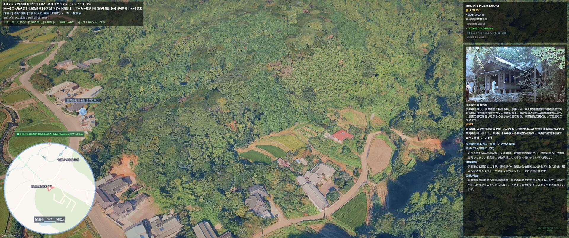
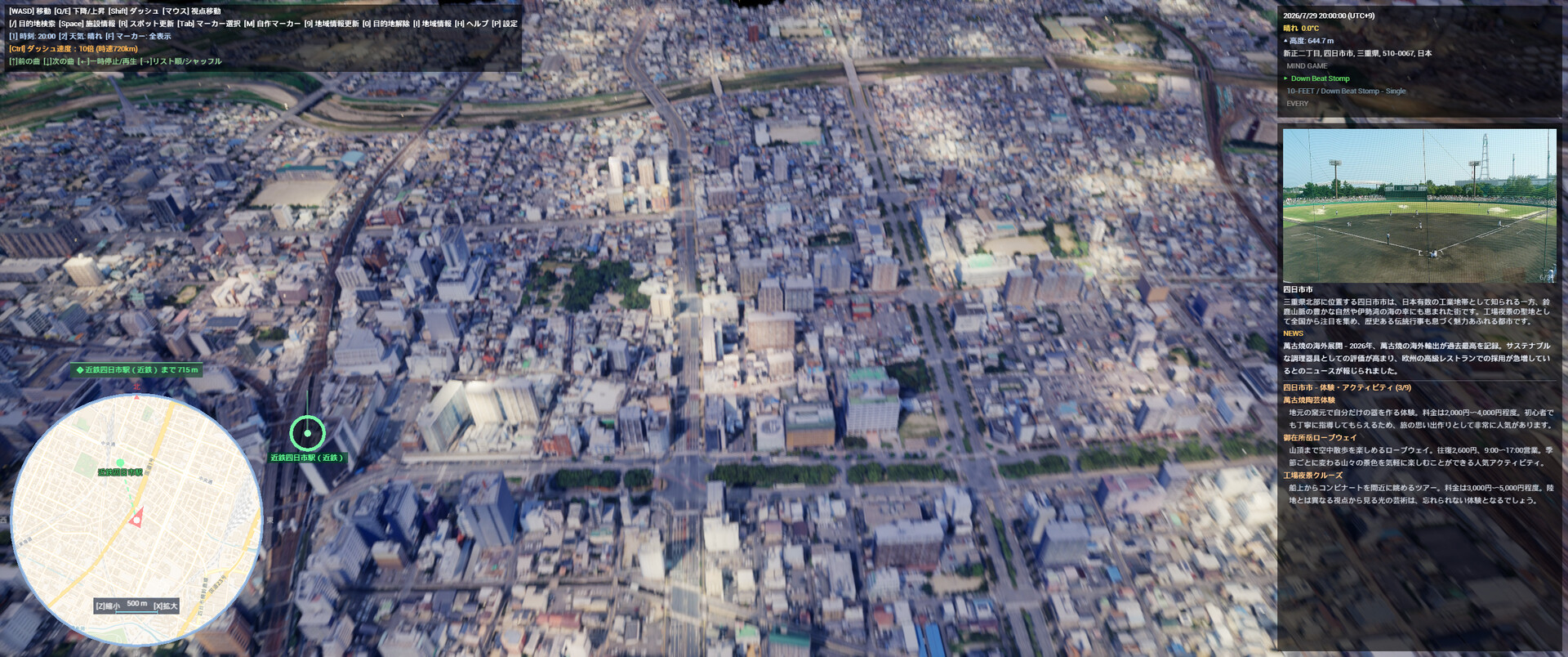
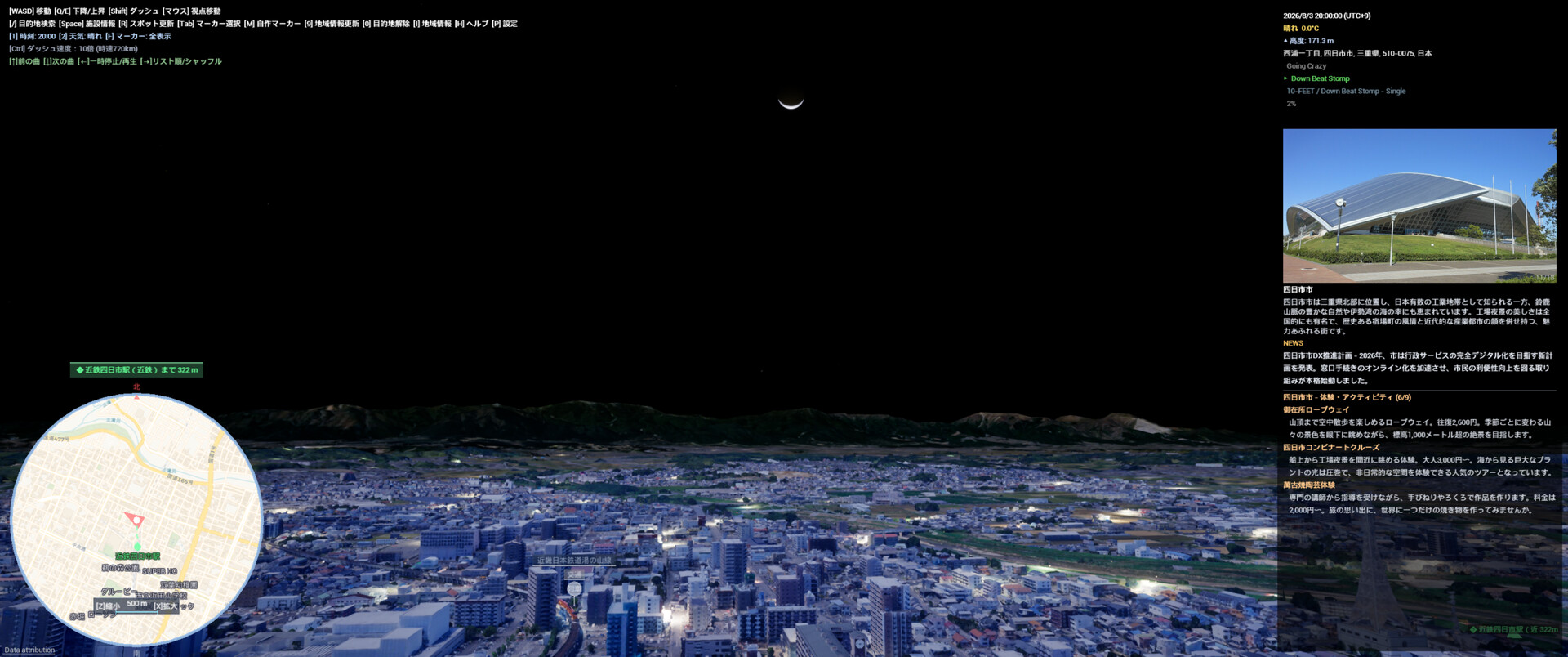
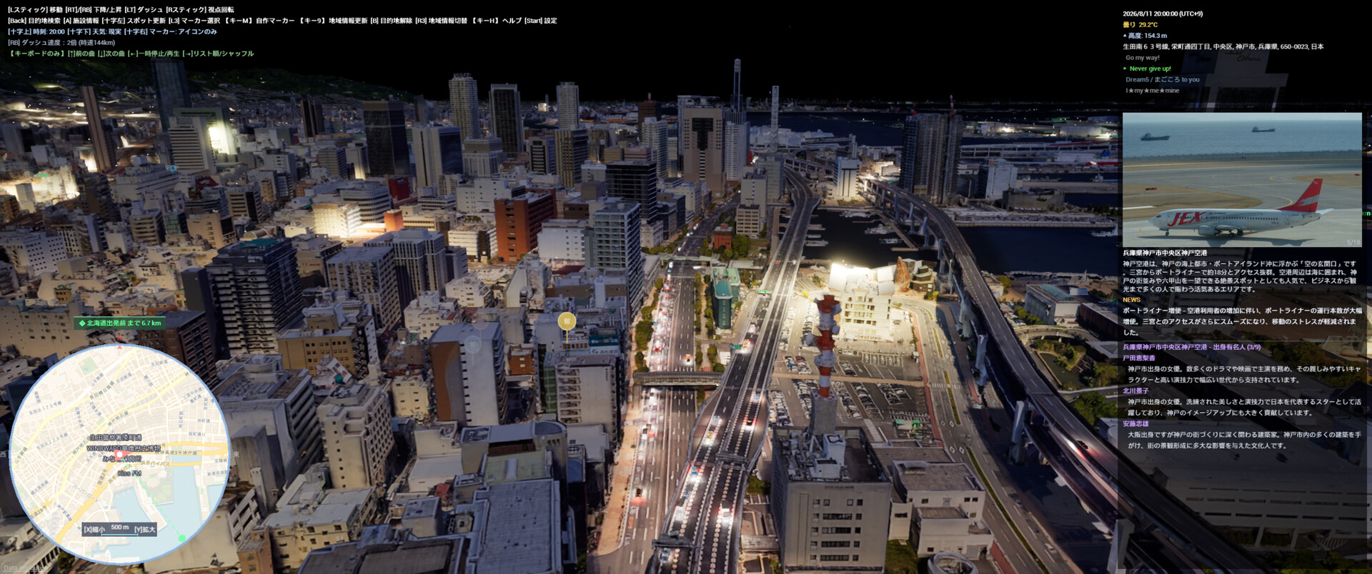
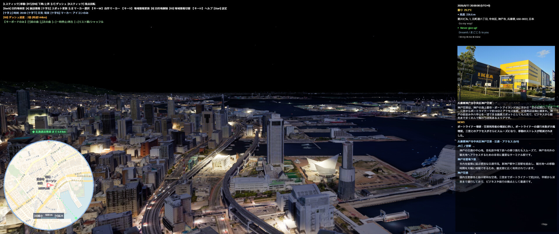
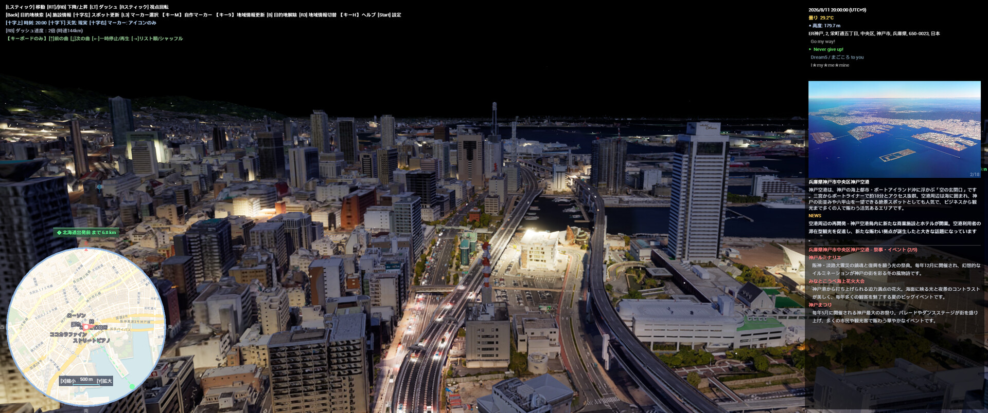
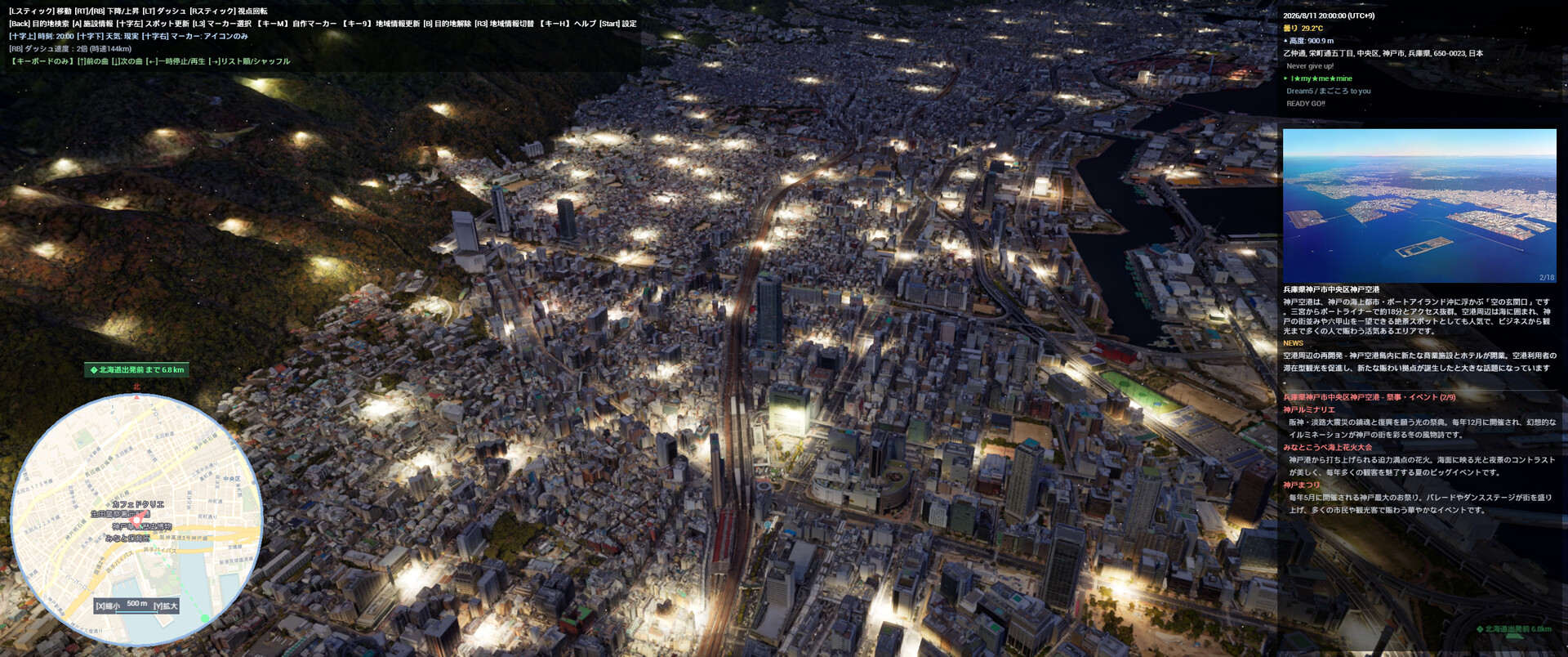
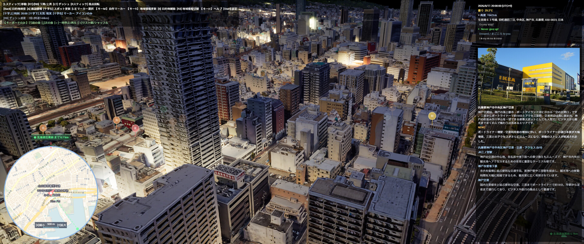
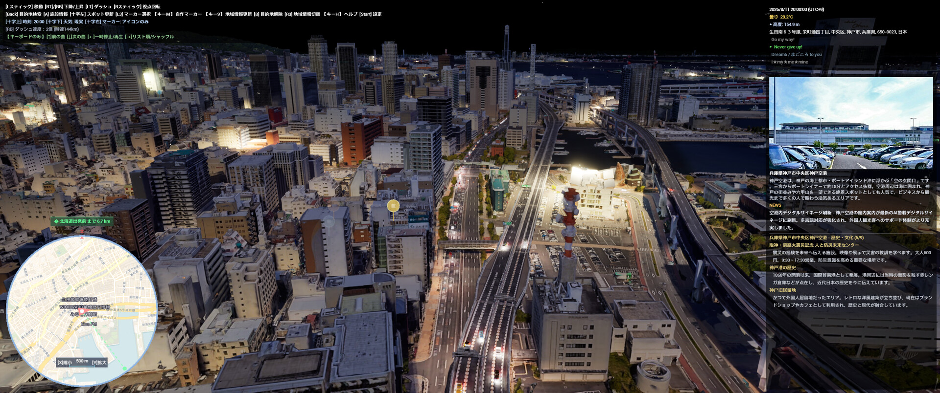
CityExplorer is a simulator that allows you to freely explore photorealistic 3D urban spaces from a drone's-eye view. Featuring a real-time day/night and weather system reflecting actual weather data and sun positions, AI-guided regional information panels, and POI (Point of Interest) markers for restaurants, tourist spots, and public facilities, this tool can be used for everything from pre-travel research to virtual sightseeing.
CityExplorer - Gameplay & Practical Use Guide
From virtual exploration to practical utility, there are many ways to enjoy CityExplorer.
Chapter 1: Gameplay & Entertainment
1-1. Virtual Travel & Sightseeing
CityExplorer is the ultimate virtual travel tool, allowing you to fly over and explore cities around the world from the comfort of your home.
- Instant Teleportation: Simply enter the name of a city or tourist spot in the search bar to travel there instantly.
- Real-Time Weather & Time Cycles: Experience the actual "now" of any location with real-time weather and day/night cycles.
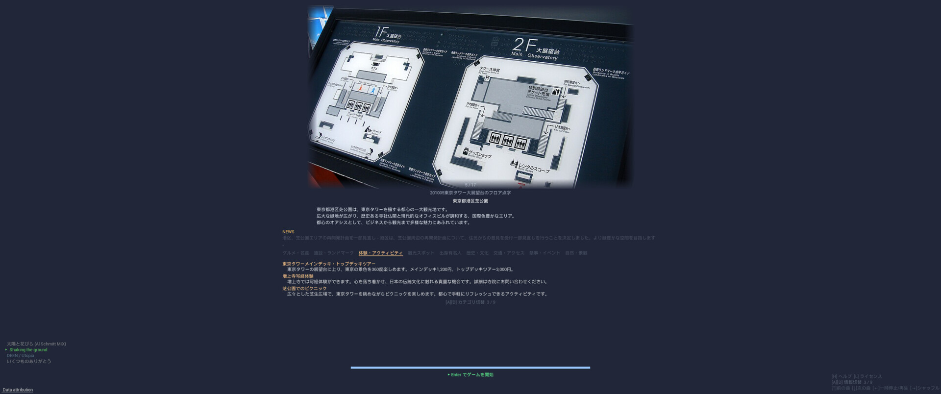
- AI Loading Screen Guide: The AI automatically provides information on local specialties, tourist attractions, and festivals during loading screens.
- Night View Mode: Enjoy the mesmerizing and magical nightscapes of global cities.
- Rain Mode: Experience the unique atmosphere of cities in the rain.
1-2. Photo Mode & Creative Composition
Find beautiful scenery, take screenshots, and build your own collection.
- Full Environment Control: Freely adjust the time of day and weather to create the perfect scene.
- Realistic 3D Visuals: Immerse yourself in highly detailed 3D imagery of global cities.
- Vibrant Nightscapes: Commercial districts illuminated by neon lights at night are highly recommended shooting spots.
- Custom Markers: Adjust your altitude to find the perfect angle, and save your favorite locations using custom markers.
1-3. Hidden Mode
By entering specific commands, you might unlock a completely different way to enjoy the simulator...!
Chapter 2: Practical Applications
2-1. Pre-Travel & Sightseeing Research
The perfect tool for scouting and planning your next real-world trip.
- 3D Layout Preview: Check the streetscapes, terrain, and scale of your destination in full 3D beforehand.
- POI Markers: Easily locate restaurants, tourist attractions, and public facilities.
- Detailed Info (Spacebar): Access official websites and photos for specific locations.
- Favorites List: Create and manage a customized "places to visit" wishlist.
- AI Insights: Learn about regional specialties and festivals ahead of time through the loading screen AI.
2-2. Geography & Educational Use
An excellent educational tool for studying geography and urban development.
- 3D Topography: Gain a three-dimensional understanding of the terrain and geographical features of cities worldwide.
- Diverse Landscapes: Learn experientially by exploring varied terrains such as mountainous areas, coastlines, and plains.
- Cultural Integration: Study geography and culture simultaneously using information for each region.
- Real-Time Data Display: Understand geographical relationships with real-time displays of altitude, address, and latitude/longitude.
2-3. Location Scouting for Photography & Videography
A powerful tool tailored for photographers, filmmakers, and video creators.
- Lighting Simulation: Check lighting conditions at your shooting spot by changing the time of day (Morning, Noon, Evening, Night).
- Weather Simulation: Simulate environments under sunny, cloudy, or rainy conditions.
- Composition Testing: Virtually test framing and compositions for aerial and drone photography.
- Location Management: Automatically generate markers from geotagged photos to manage your shooting locations.
2-4. Real Estate & Neighborhood Research
- Aerial Inspection: Check the neighborhood atmosphere and surrounding environment of areas you are interested in from above.
- Surrounding Amenities: Get a comprehensive overview of nearby POIs such as stations, commercial facilities, and parks.
- Compare Areas: Add multiple locations to your favorites to compare them easily.
2-5. Game Development & 3DCG Reference Material
- Urban Modeling Reference: Observe 3D cities as reference material for urban modeling.
- Urban Layouts: Gain a bird's-eye view of building density, road patterns, and green space distribution.
- Lighting Reference: Utilize the dynamic light source shifts of the day/night and weather systems as lighting references.
After purchasing on Steam, you automatically receive a Welcome Pack. Each feature has a separate usage quota. Additional quota packs can be purchased via Steam in-game purchase.
You can use a controller with this game, but a mouse and keyboard are still required.